

Harischandragad on left, Tolar Khind in centre and Karki Dongar on right along with Pimpalgao Joge Dam
Harishchandragad trek is possible the best trek in Sahyadris. It has 3 main routes from which one can reach the fort, they are Nali chi vat, Khireshwar and Paachnai, with difficult rating of very difficult, difficult and easy respectively. After trekking kalsubai and ratangad, harischandragad was always on my card and the opportunity was presented in the 1st week of October. The best time to trek harischandragad is when the monsoon is retreating i.e end of September and early October because nature is at its best with light clouds, mist, fog, wildflowers, portable water streams, butterflies all around and can see all points with greenery all around.

Harischandragad
I started my solo trek on 2nd October at 4.45 am in the morning, reached Thane by ST bus, then to Kalyan by train and finally by ST bus to Khubi phata at around 9.30 am. Khubi phata is 6 km from Khireshwar the base village for the trek. The road leading to this village is a mud dam called Pimpalgaon Joge dam. The dam and the surrounding area offers a scenic view of the area, also there are lot of migratory birds around the dam. The day was getting hotter and it was tiring me as there is no tree cover on the road, reached Khireshwar by 10.50 am. Here I met a guy from Haryana who was also trekking alone, so we decided to trek together, after having

Tolar Khind
breakfast together we started our trek at 11.20 am. The initial mud roads end after 500m, then there is a track, the one going to the right has to be taken after that just follow the road in the direction of the Tolar Khind, i.e go straight. Here we made mistake of taking right and we travelled a considerable distance under the Karkai Dongar which is at the right of Tolar Khind. After we had figured out the way back and start the right path it was 12 noon. Thereafter just follow the path which is a huge gully with boulders strewn all over the place till you reach the Tolar Khind, approximate time should be 1 to 2 hours depending on ones stamina. One would encounter a hut in between which sells lemon juice, from where some caves are visible.
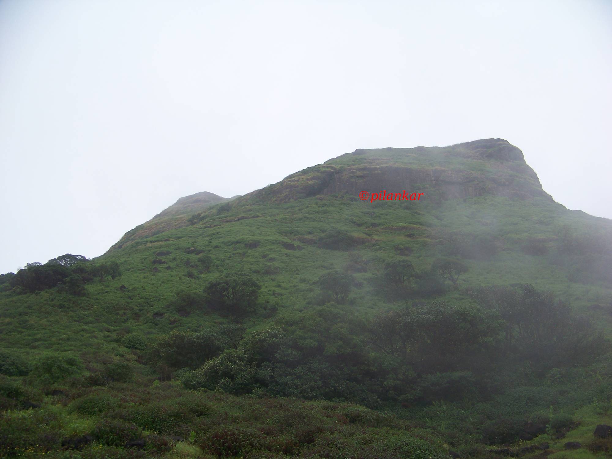
Once you reach the Tolar Khind the 1st part of the trek is over, the 2nd and the most dangerous part is about to begin, here there is a rock patch of 600 feet which is divided into 2 parts. The 1st part is a bit easier, but the 2nd part is nearly a vertical rock patch. Also, the 1st part has more railing support than the 2nd part. My personal advise is that if its raining then do not enter this rock patches, just

Tolar Khind Shilp
try to ascend from Paachnai route. I reached the Khind at around 1.05 pm, then had a break of 5 mins, there is a lemon stall there. After the break I started ascending the rock patch, when the first patch was completed it started to rain very lightly, so I picked up the pace and started to climb the second one, I nearly completed the second one except the last 10 feet where remaining and the rock was wet and there was moss all around it, luckily there was a group of trekkers whom I called for help, it was the most scary moment of the trek, standing alone on the edge with 80 feet vertical drop. With the help of these guys I successfully completed the final rock patch.

Rock Patch
After the rock patch the 3rd part of the trek starts, their are a couple of huts one encounter within 500m of each other. From the second hut the route bifurcate, one that goes left goes through balekilla and the right or one that goes behind the hut goes through the seven hills. The balekilla route is comparatively shorter and saves close to 1 hour of time. Since I was alone and not aware of which one to take, I took the left one, this route goes at the base of the balekilla, other blogs mentioned that this route has thick forest cover, but I personally don’t think so, these are just karvi trees all along the route and even on a rainy day I was able to see the route clearly. Since this route is less travelled there are chances of wild animals running in your way, though I didn’t encounter it myself. Even this so-called dense forest is in patches, it’s not continuous. I was able to reach the
Bale killa
base of balekilla in 20 mins, there I encounter a group of 20 trekkers, with there guide, this group came to my rescue later in the route. The good thing about this trek is that the way to Harischandragad Temple is well-marked with white arrows. I kept on following this marked arrow and kept trekking for next 25 mins, after which I reached a hut with a broad path behind, I could’nt figure out which way is the right route, so I waited there for next 30 mins and finally when this group came to my rescue, one had to take this broad path and then the temple was just 15 mins of trek from here. Here in the middle of the jungle I was all alone with no food, also I filled water bottle from the nearby stream thinking that I need to spend the night in this hut. So after some anxious moment I was back on track and reached the temple at 3.30 pm.
Here is the brief summary.
Khubi Phata to Khireshwar : 1 hour 15 mins
Khireshwar to Tolar Khind : 1 hour 10 mins
Tolar Khind to 1st Hut above rock patch : 35 mins
Hut to Temple (Bale Killa route) : 1 hour 45 mins (with 30 mins break)
Harischandragad is an irregular tabletop with base height of 1200m, there are two peaks on this tabletop, namely Taramati which is the highest point on the fort at 1424m and the balekilla which is at 1390m, also there is Rohidas peak nearby which is at 1412m. There are lots of streams flowing throughout the fort in the months of monsoon, these streams feed water to rivers in both ghats and the Konkan region. The plateau is rich in flora and fauna, lots of wildflowers and butterflies can be seen, namely the Blue Mormon butterfly is a treat to watch. There are carpets on Sonki flowers all along the route in the month of October. Harischandragad has been inhabited since Microlithic age (Stone age man approx 8000 BC – 33000 BC). Tools used by them have been found on this fort.
After having darshan at the temple, I decided to have lunch in one of the food stall, there is food facility available on the fort every weekend and for rest of the days you have to call before you come to the fort for a particular day. I had also contacted the person named Mr Kundalik Bharmal (mobile no 7507033466). These people are friendly and would take care of food and lodging arrangement. They also provide tents at reasonable price.
As this post is getting longer I would describe Kokan Kada, Taramati peak, about caves and rest in the next post along with my descent from Paachnai route.

This is one of those awesome treks I really want to do. Don’t know if I am fit enough for it….
LikeLike
The route from Paachnai should be fine for anyone who can walk for 3 hours.
LikeLike
I and my two children ( age 13 yrs) did the trek in one day. We reached Khireshwar at 7.15 am and started the climb from there at 7.30 am. We reached the temple area by 9.30 am as we climebed almost nonstop.
We went to konkan Kada and also climed up Taramati Peak, after breakfast at one of the huts near the temple. We returned back to the temple area by 1 pm, had lunch and started back by 2.15pm and reached Khireshwar ( almost non stop) by 4.45 pm.
We had a good guide – Janardan Memane (8554963441) and the hut cum hotel we had our breakfast and lunch was also a great place. ( Trimbak Bharmal 8007430176, 8605325156). The food was unlimited and very tastey. You need to give them 2-3 hours advance notice.
LikeLiked by 2 people